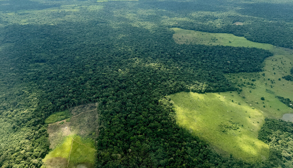
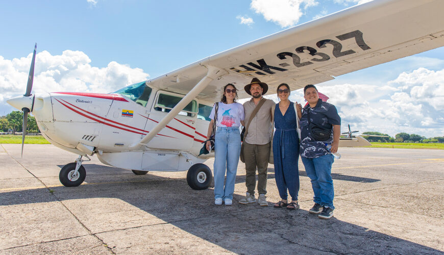
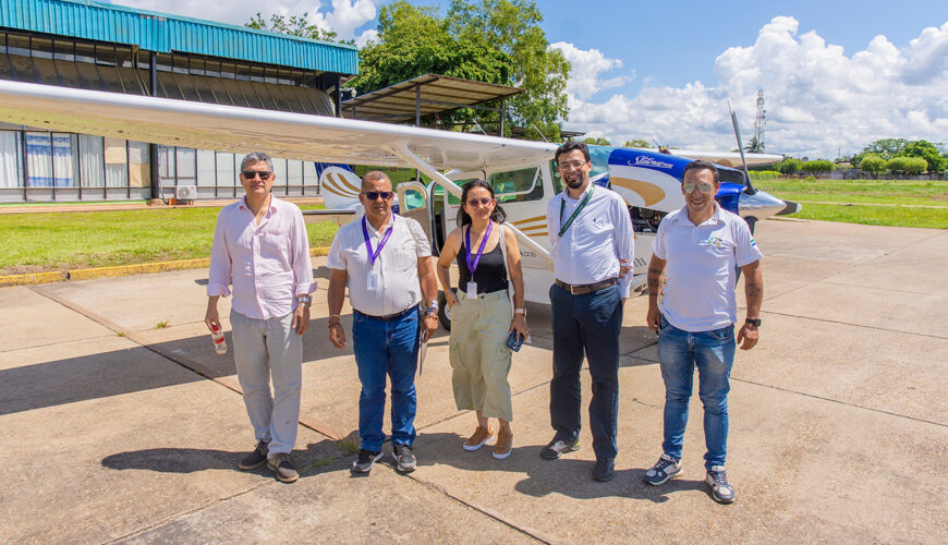
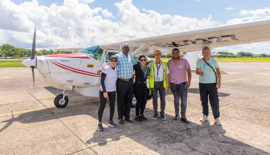
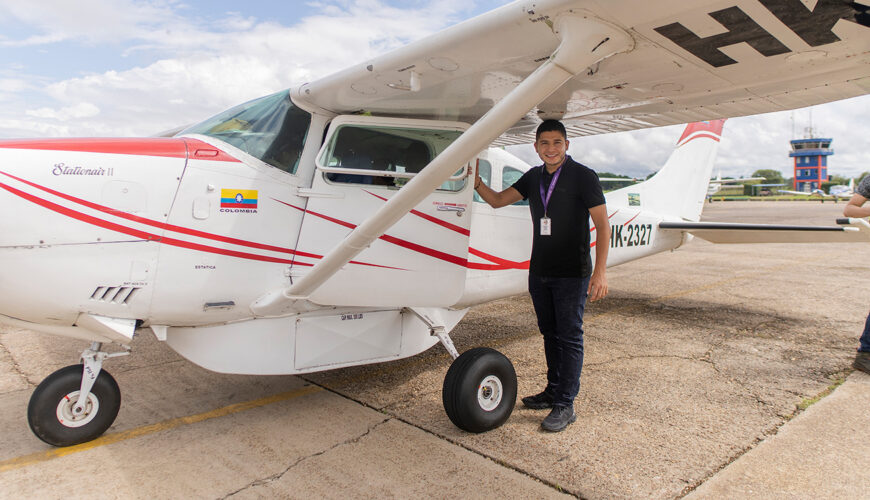
As part of the Amazonian Scientific Immersion Day organized by IRI-Colombia, participants took an aerial tour of some of the main areas of deforestation in Guaviare. It was a profound experience that allowed them to understand the dynamics of deforestation in the region and confronted them with the challenge of turning scientific evidence into concrete decisions to protect the Amazon.
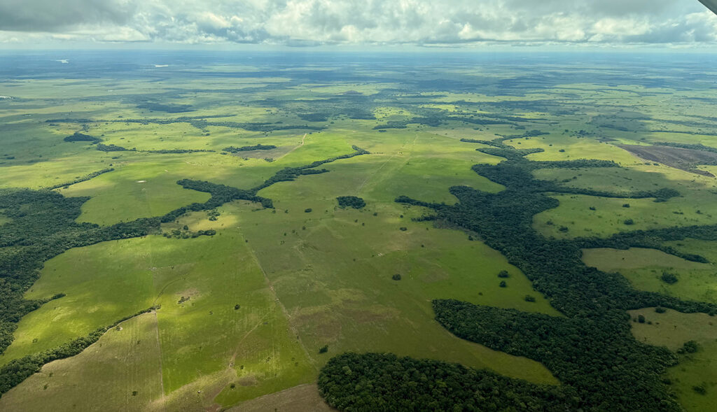
In 2024, more than 16,000 hectares were cleared in San José del Guaviare. This figure ceases to be a mere statistic on paper when, from the air, one sees roads emerging “out of nowhere” in the middle of the forest canopy, fragmented plots, and large clearings that reveal the absence of a forest that once stood there.
Joseph Corcoran’s words sum up the sentiment of the congressmen, religious leaders, scientists, and journalists who, during IRI-Colombia’s Amazon Scientific Immersion Day, flew over the department: “From the sky, we’ve seen what deforestation looks like. Not as an abstraction. Not as a statistic. But as a wound in the landscape,” said the global director of the Interfaith Rainforest Initiative (IRI).
The tragedy observed from the air is a process that is repeating itself across much of the Colombian Amazon and transforming the forest step by step.
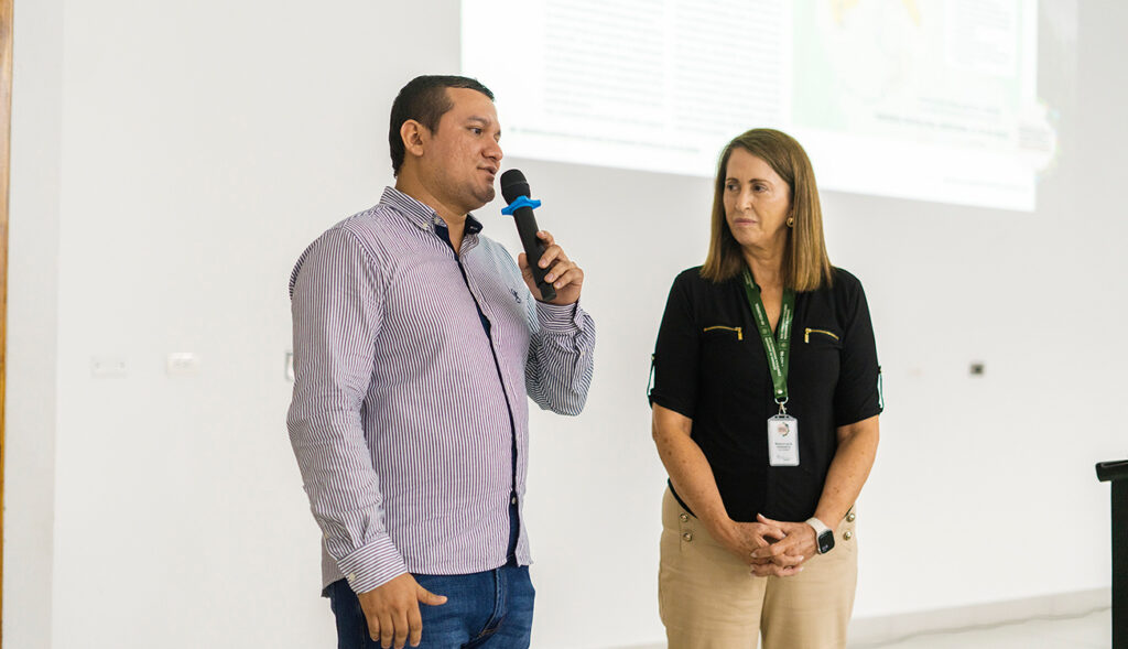
Deforestation begins with the clearing of roads or trails—generally illegal—in forest reserve areas. These facilitate the entry of machinery, timber, and other resources. According to environmental engineer Ferney Gutiérrez, a liaison between the Forest and Carbon Monitoring System (SMBYC), the Institute of Hydrology, Meteorology, and Environmental Studies (IDEAM), and the Corporation for the Sustainable Development of the Northern and Eastern Amazon (CDA), this work is generally carried out using bulldozers.
“Deforestation results from poorly planned development, because wherever a road is built, deforestation immediately follows as settlers begin to move in,” said Miguel Ángel Rubio Bravo, the representative from Putumayo to the House of Representatives.
“Generally, deforestation begins when a road is illegally cleared in a forest reserve,” explained Ferney Gutiérrez.
“This is just the beginning,” stated Ferney Gutiérrez during the conference “Deforestation in the Amazon: Structural Causes, Territorial Dynamics, and Challenges of Control.” After “opening the road,” the next step is “socola”—that is, clearing the forest’s low-lying vegetation, such as shrubs, vines, and leaf litter, with a scythe, which prepares the land for further use.
The next step is the felling of nearly all the larger trees on both sides of the road, most often with a chainsaw. Subsequently, the loggers proceed to burn the area to clear the land and, in the process, dispose of the wood, branches, and debris. The ash resulting from the burning is spread across the area, as it temporarily provides the nutrients needed for planting grass during the rainy season. This grass will serve as feed for the livestock that will be brought to the area.’

See to Protect
The aerial survey was conducted over the department’s main deforestation hotspots. From San José del Guaviare, the route headed east, parallel to the Guaviare River, to the Guanapalo sector. It then continued south, very close to the municipality of Miraflores. There, damage was observed to the forest connecting the Nukak National Natural Reserve and the Serranía del Chiribiquete National Natural Park.
Along the road connecting Calamar and Miraflores, researchers identified one of the region’s main deforestation hotspots. In 2024, nearly 7,000 hectares were deforested in Calamar and 1,294 in Miraflores.
“During the summer months, large plumes of smoke from forest fires can be seen during overflights. On this overflight, what we saw were the scars left by the fires that occurred in June,” noted Ferney Gutiérrez.
Grass monocultures were the most common sight in the deforested patches observed from the light aircraft. In Guaviare, a great deal of space is required for cattle due to soil conditions. It is estimated that there should be 0.5 head of cattle per hectare, which necessitates vast tracts of land to maintain even a small herd. Furthermore, since overgrazing causes the soil to become overgrown with weeds or stubble within a few years, it is necessary to clear new areas to move the animals.
When people migrated to the region, many saw extensive cattle ranching as a way to generate wealth, since the land was unsuitable for productive livestock farming or agriculture, explained Representative Rubio, who reflected on the region’s productive activities: “We must reevaluate our development model. There is a capitalist and extractivist mindset in the country. We need to envision a different kind of economy.”
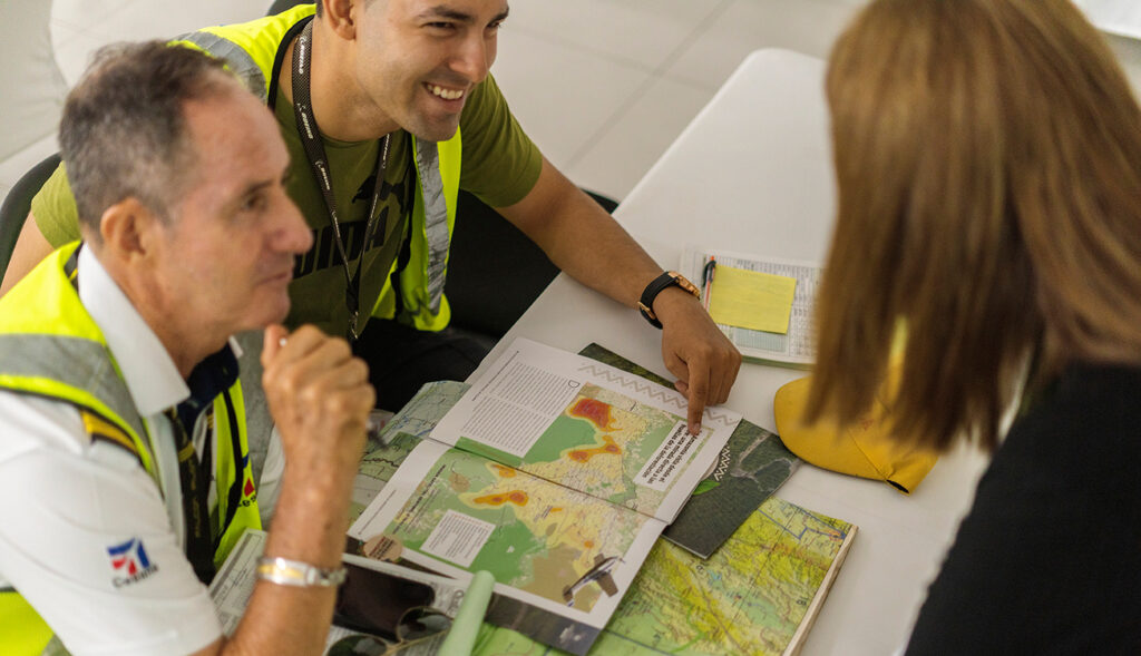
After passing through Calamar and Miraflores, the trip continued toward Caño Gravilla. There, unfortunately, it was easy to see the fragmentation of the forests caused by deforestation. The group then proceeded to Yaguara II, which in 2024 recorded nearly 6,000 hectares of deforestation, and then on to Puerto Cachicamo, very close to the Serranía del Chiribiquete National Natural Park. From there, they returned to the Serranía de La Lindosa and landed once again at the San José del Guaviare airport.
After the tour, Esneyder Gómez Salamanca, a member of the House of Representatives representing the Special Transitional Peace Districts, shared his experience: “It’s one thing to be on the ground and another to be in the air. It’s very hard to see the magnitude of deforestation in the Amazon and to understand how we are contributing to the loss of forests.”
“One government strategy to curb deforestation was the implementation of Forest and Biodiversity Development Hubs. These hubs are also present in departments that do not belong to the Amazon biome, such as Chocó, Antioquia, Norte de Santander, Nariño, Cauca, and Arauca,” explained Gutiérrez.
According to the congressman, it is necessary to foster serious debates on the issue. It is also important to promote initiatives similar to the flyover conducted by IRI-Colombia, as they allow people to confront a reality that is difficult to fully grasp.
But this is not the worst-case scenario. According to engineer Ferney Gutiérrez, the flight took place during the off-season for deforestation (June), and it was barely possible to see the scars left by the fires. This is because the cycle begins between April and September with the clearing of paths; in October, the “socola” (a type of controlled burning) takes place; and between November and January, the trees are cut down.
From February to March, when temperatures are high and relative humidity is low, the burning takes place, as these conditions facilitate the combustion of vegetation. The rainy season begins in late March, at which point grass is planted and cattle are brought in. This is the cycle that repeats itself in every new deforested area.
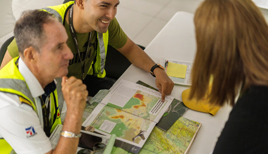
 Geraldin Correa, from RTVC San Vicente del Caguán; Juan Camilo González, from Etnollano; Natalia Arbeláez, from La Silla Vacía; and Paule Cárdenas, from RTVC San José del Guaviare. Photo: IRI-Colombia.



The Forest Under State Protection
Efforts to conserve the Amazon have shown encouraging results. Between 2022 and 2024, the lowest deforestation rates in the last two decades were recorded. After peaking at over 217,000 hectares deforested in 2017, the figure dropped to 123,517 hectares in 2022 and fell significantly to 79,256 in 2023. Although it rose to 113,608 hectares in 2024 and to 119,483 in 2025 (5% more than the previous year), the overall trend remains positive.
While the goal must be to reach zero, these results represent significant progress in the fight against one of the main threats to the Amazon biome.
In his presentation, engineer Ferney Gutiérrez explained that the government implemented the Deforestation Containment Plan through the creation of the Forest and Biodiversity Development Hubs.
These are critical geographic zones in Colombia (primarily in the Amazon) aimed at transforming areas with high deforestation rates into territories dedicated to sustainable production, environmental conservation, and community governance.
They are typically located in the northwestern deforestation arc of the Amazon, although they are also present in departments outside the Amazon biome, such as Chocó, Antioquia, Norte de Santander, Nariño, Cauca, and Arauca. As of the end of 2024, the 28 Forest and Biodiversity Development Hubs had conserved 96% of the natural forests identified in the 2021 baseline, equivalent to 4,715,587 hectares.
So, it’s not all bad news. Although the aerial survey may have seemed like a disheartening exercise, decision-makers now have firsthand knowledge of what is happening in the Amazon and possess solid scientific arguments to defend it from their legislative seats, pulpits, or through the media.
“Over the past 24 years, deforestation peaked in 2017, with 219,552 hectares cleared,” noted Ferney Gutiérrez.